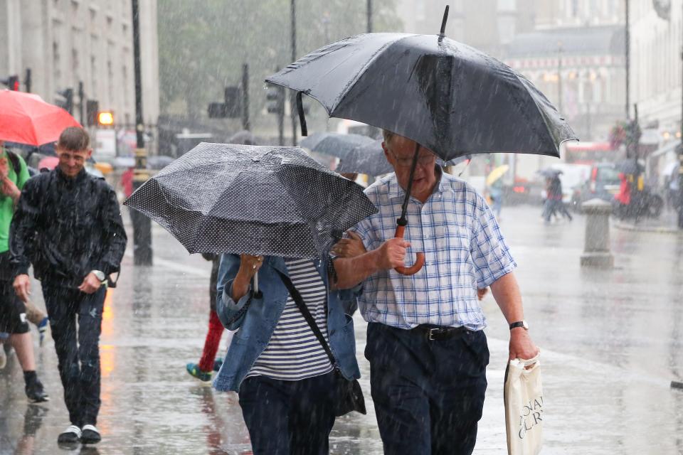
THE UK was battered by 50mph winds and heavy rain last night, as the country braces for wet weather.
Forecasters have warned that it will rain every day next week, in what will be a very wet start to June.

4
4
4
The news comes after Britain experienced one of its driest Mays on record, with some parts of the country prepping for droughts.
The North-West and North-East have also experienced their driest starts to the year since 1929, with Brits basking in sweltering 27C heats.
According to Met Office meteorologist Becky Mitchell, though, that seasonal abnormality has come to an end.
She said: “Last night’s rain won’t have brought May much closer to average.
“That being said, we still have a week left of May and we expect to see rain every day, so by the end of the month we could be closer to the monthly average.”
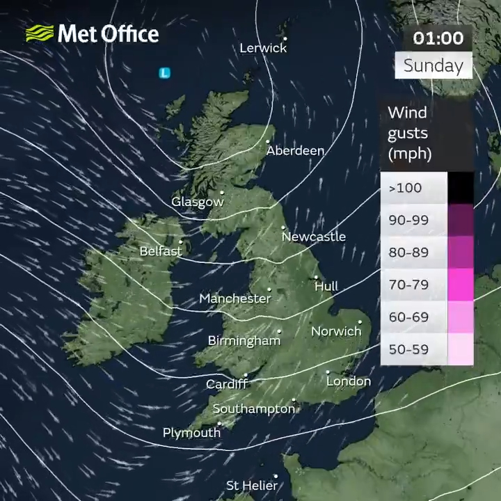
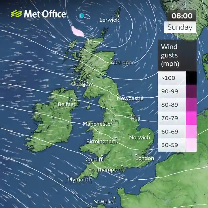
Fellow meteorologist Zoe Hatton added that showers will sweep across the country from Sunday onwards.
She said: “Across the north of the countryside of Scotland is likely to be wet and quite miserable initially.
“A band of rain will be moving eastwards overnight lingering in the far north of Scotland. Elsewhere it’s not going to be widely wet.
“There’s going to be low cloud in places which could produce outbreaks of rain across the Pennines and across higher ground in the south of England, but the main focus will really be northern Scotland.
“As the day moves on that band of rain will move eastwards and we’re going to see showers arriving from the west.
“The most likely places affected will be Northern Ireland, Scotland and the north of England, and some quite frequent blustery showers across parts of the country, but drier further south.”
Heavy winds peaked at 50mph in the north of England on Saturday, while temperatures across the country will peak at a meager 15C on Sunday.
Some southern areas, including London, could experience highs of 21C, though, on Wednesday and Thursday.
However, Becky has warned that the warmer weather might not return until the school half-term.
Temperatures will begin to rise after June 2, bringing an end to what is believed will be a very wet week.
Over the last few months, Britain has experienced a variety of rare weather conditions with meteorologists warning of a tornado on May 21.
One spokesperson said: “It’s not out of the question that we could see a funnel cloud, maybe even a brief tornado across parts of the South East.”
Tornadoes form when hot, humid air collides with cold, dry air.
The cold air heads downwards, while the hot air rises – creating a funnel, which eventually spirals into a tornado.
Due to the UK’s landscape and normally temperate weather, tornadoes are a rarity in Britain.
4