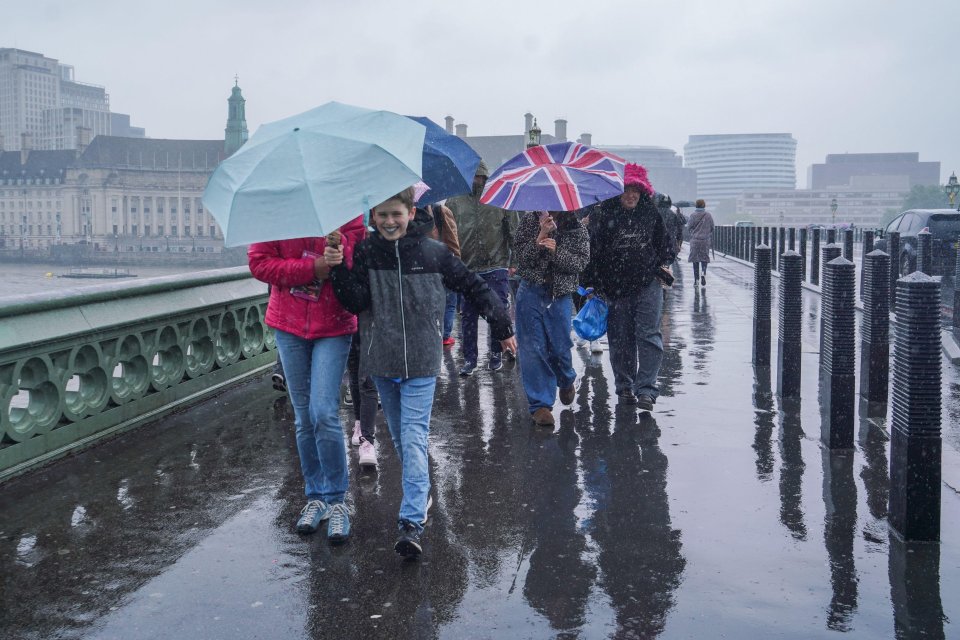
RAIN is set to fall in just hours in parts of the UK, marking the end of the remarkably dry start to spring, the Met Office has forecast.
Some areas could even see thunder as the skies open up amid the driest start to the season in nearly six decades.
The Environment Agency has also warned there could be a risk of a drought this summer without sustained rainfall, with millions of households told they may face water restrictions in the coming months.
As of Friday, just 80.6mm of rain has been recorded for the UK this spring – that’s almost 20mm less than the record low of 100.7mm, set in 1852 for the full season.
However, this could change imminently, as the Met Office has warned of showers landing in the north of the UK throughout Monday.
Met Office meteorologist Kathryn Chalk explained showers hit across southern Scotland and northern England overnight on Sunday, with some reaching as far south as Wales.
Heading into Monday morning, there are expected to be “much-welcome” showers across the central belt of Scotland, northern England, and Northern Ireland.
Cities such as Edinburgh and Glasgow in Scotland could be washed out by the rainfall, as could Manchester in the north of England.
Met Office meteorologist Dan Stroud added that Monday would see sunny spells in the west develop widely with a “few scattered showers developing across the north during the course of Monday afternoon”.
He added: “One or two of those could be heavy, potentially thundery, but most places are going to be warm and dry.”
However, from Tuesday onwards there could be “an increasing chance of showers across southern areas of the country,” Dan said.
“Then beyond that, Thursday and Friday are likely to become dry, fine and sunny again, with good deals of sunshine for much of the country.”
Conditions in the UK this spring had been “remarkably dry up until now”, Dan explained.
However, as we approach the final week of May, which is also when schools break for half-term, the weather is “looking increasingly changeable, with areas of cloud and rain arriving from the west”.
The Met Office explained the prolonged warm and very dry spell, which has seen Brits enjoy temperatures as high as 29C, was primarily caused by high pressure.
However, by Tuesday, changing conditions could see “occasional heavy and potentially thundery showers developing across parts of Wales and the Midlands, with one or two of those breaching into London“.
Discussing Wednesday’s forecast, Dan said: “It will be a bit of a chilly start across England and Wales with plenty of sunshine to kick the day off.
“But showers will develop across England and Wales, with some of those showers potentially heavy and thundery and breaching into the London area.”
Met Office forecast
Today: Cloudy at first, but turning brighter with warm, sunny spells developing for most.
Mainly dry, though showers bubbling up in the west, perhaps turning heavy or thundery during the afternoon.
Tuesday to Thursday: Sunshine and showers for some on Tuesday and Wednesday, these perhaps heavy and thundery at times.
Drier on Thursday with bright or sunny spells. Locally chilly overnight.

