

THE MET Office has revealed the exact date temperatures are expected to soar to 29C as a dome of “sinking air” descends across the UK.
Brits are likely to be able to enjoy potentially “record-breaking” heat for this time of year as a result of the prolonged sunshine and area of high pressure over the country.

6


6

6
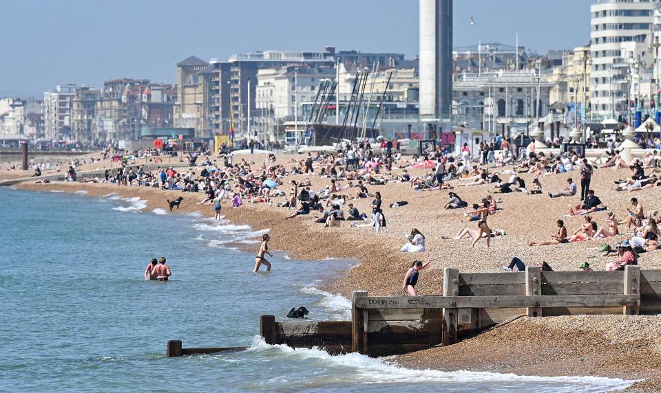
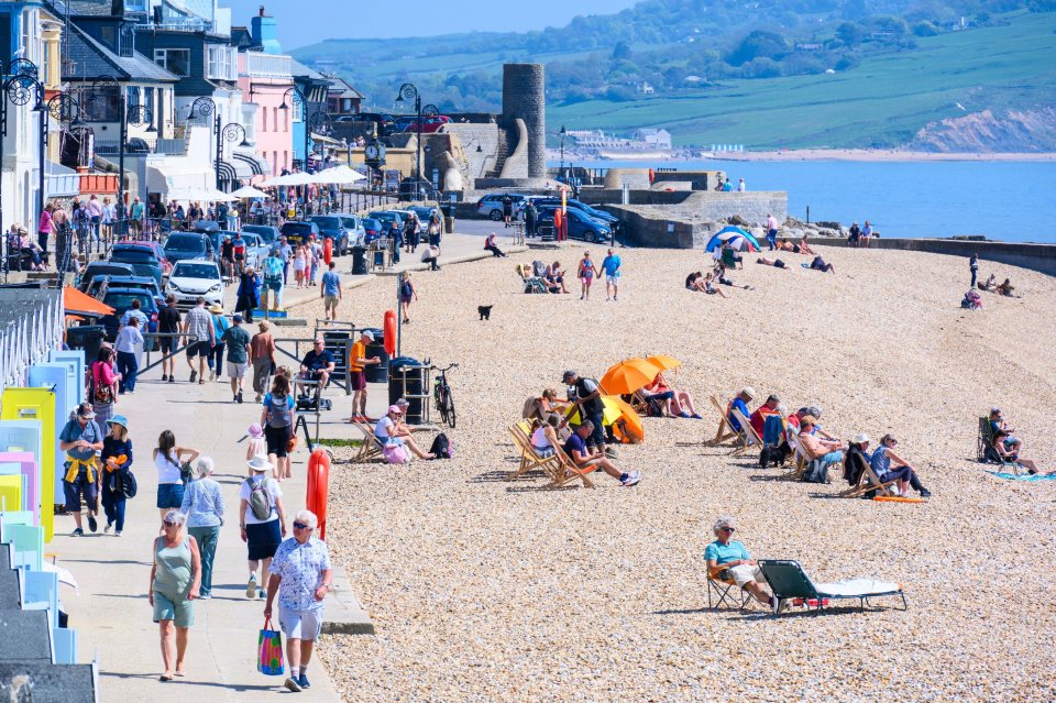
This comes as countless sunseekers were spotted flooding beaches, parks, and riversides yesterday as temperatures reached a balmy 26C across much of southern and central England.
The Met Office has now said today and Thursday could bring even warmer conditions, as temperatures soar towards the 30C mark.
In a post on X, the forecaster said: “A broad area of high pressure is currently positioned over the UK, leading to sinking air that warms as it descends.
“Combined with prolonged sunshine, this is expected to push temperatures up to 29C in southern areas by Thursday.”
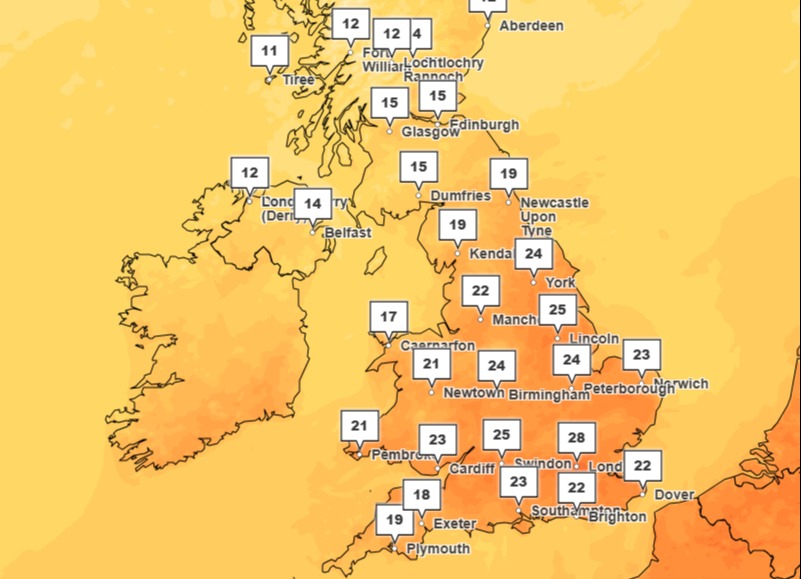
Areas in and around London, as well as much of the rest of southern England, are likely to experience the best of the sunshine, with temperatures reaching their highest point on Thursday afternoon.
Those living across the Midlands are also set to be able to bask in the glorious sunshine in around 25C heat.
While not as warm, conditions are still expected to be largely above 20C in the afternoon across Wales.
However, Scotland and Northern Ireland are expected to experience slightly cooler conditions, floating around the 12C to 15C mark.
This is in stark contrast to today, where much of the mainland UK should reach above 20C.
If temperatures manage to reach over 30C this week, it would be the earliest point in the year the UK has ever reached such hot conditions, since Met Office records began.
Chief Meteorologist Jason Kelly said: “Thursday looks set to be the warmest day of the week, with temperatures climbing notably above the seasonal average.
“Overnight temperatures will also be very high in places.
“It’s possible national and station records for daytime and overnight temperatures may be broken.
“The far north will always see cooler conditions, with these more seasonal temperatures likely spreading erratically south later in the week.”

6

6
6
Conditions are far warmer at the moment than usual for this time of year.
Typically, late April sees the mercury reach average around 12C in Scotland, and 16C in southern England.
However, predictions of 29C mean the UK could be hotter than Crete (15C) in Greece and Barcelona (21C) in Spain on Thursday.
Following Thursday’s peak, temperatures are expected to begin to fall on Friday, with 25C likely being the maximum temperature.
The Met Office said there is a chance of some showers and potentially thunderstorms developing late on Thursday or overnight, particularly in the south and south west.
It added there could also be some “uncertainty” as we move towards the weekend as an area of low pressure moves up from the south.
Met Office five-day forecast
Today: Wednesday is set to be a very warm day for much of the UK, with lots of sunshine.
A few showers developing across Northern Ireland and Scotland later in the day, where there will be cloud at times.
Tonight: Late evening sunshine, then dry overnight with largely clear skies.
Small chance of mist patches around dawn.
Cloud and isolated showers across Scotland and Northern Ireland. Cool under clear skies.
Thursday: A very warm and sunny day in the south and southeast.
An increased risk of some heavy showers or thunderstorms in the afternoon.
Feeling cooler from the north.
Outlook for Friday to Sunday: Some isolated heavy showers or thunderstorms on Friday, otherwise dry and bright for most with sunny spells.
Temperatures returning to near or just above average for the time of year.